3D maps

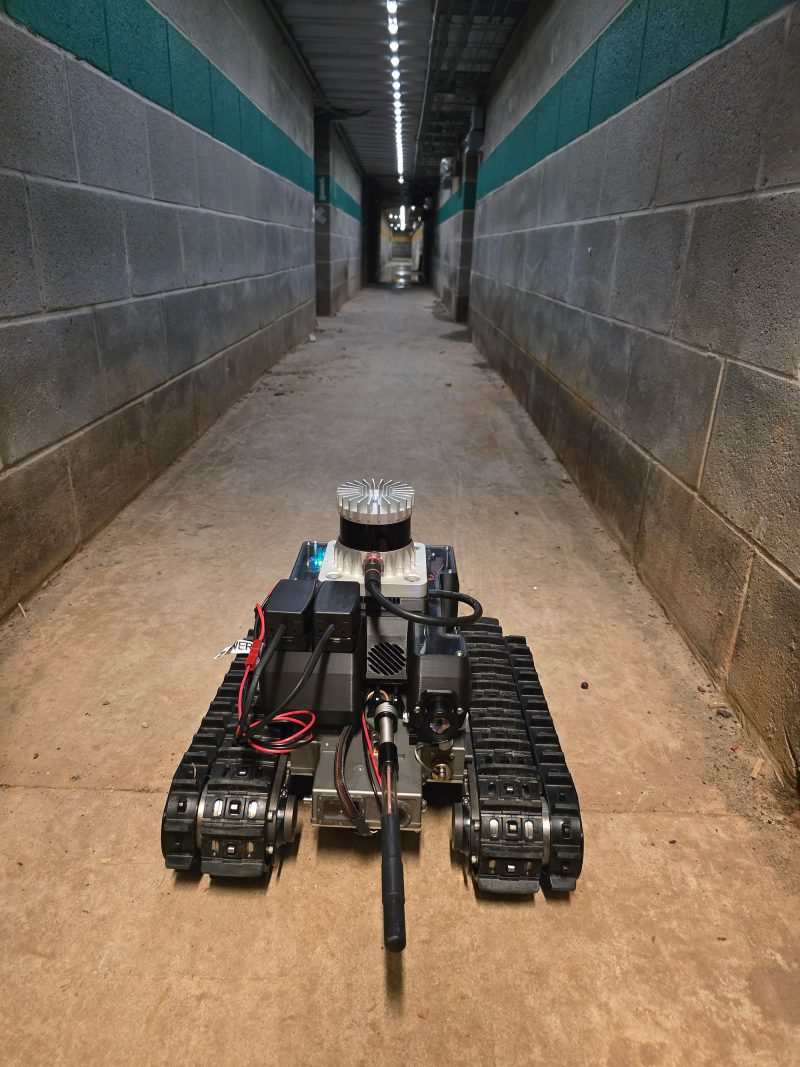
#32: Muddy: A mapping robot for extreme environments

A low-cost unmanned ground vehicle capable of producing 3D maps, the Muddy robot has solved a variety of mapping challenges since 2017. Developed by the U.S. Army Engineer Research and Development Center (ERDC), Muddy is often used to test more expansive robotic platforms and to enable other projects. Its combination of autonomous navigation, affordability and…

Read More

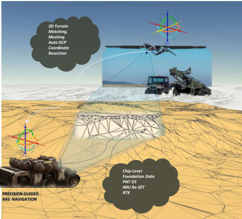
#4: Mapping in GPS-denied environments

As Global Positioning System, or GPS, technology becomes more commonplace, so does its usage by the Armed Forces in preparing for and executing battleplans. However, there has also been a growing trend of adversaries using technologies to jam or spoof these signals. This created a need to provide mapping capabilities for use in GPS-denied environments….

Read More