#44: Frontline Robotics: Enabling safer execution of one of the Army’s most dangerous tasks
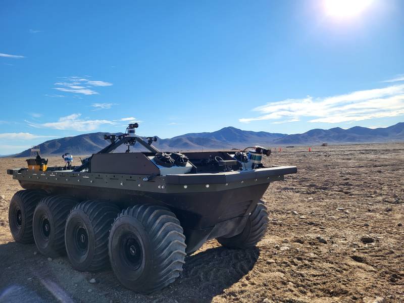
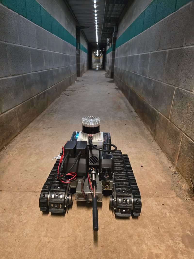
Combat engineers perform some of the military’s most dangerous duties, from breaching obstacles and clearing minefields to constructing front-line defensive positions while under enemy assault. ERDC’s Robotics for Engineer Operations – or REO – program is helping them do so safely. REO develops robotic capabilities that allow combat engineers to operate from safe standoff distances….
Read MorePodcast: Play in new window | Download


Recent Comments