#52: Decades of Coastal Data is a ‘National Treasure’
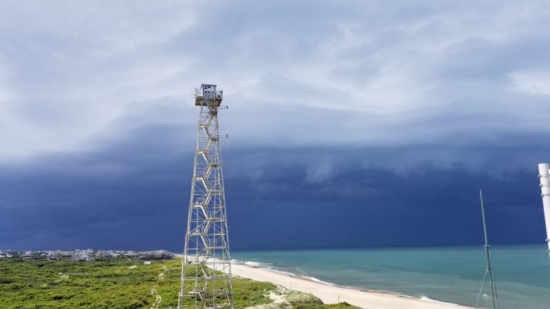
Mike Forte, a research physical scientist at ERDC’s Field Research Facility (FRF) in Duck, North Carolina, calls himself and his team “custodians” of the data continuously collected at the research facility. The team’s care for the data, collection methods and validation and preparation efforts have made this data a national treasure. Decades of data sets from constant observation…
Read MorePodcast: Play in new window | Download


Recent Comments