#21: Enhanced Terrain Processing
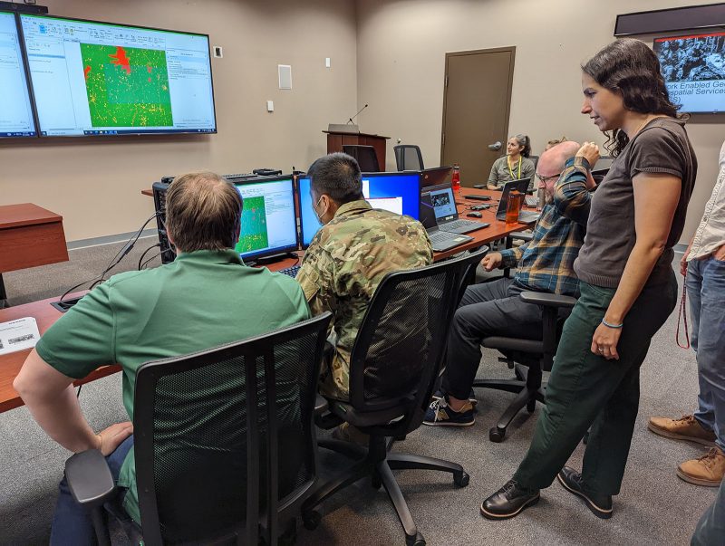
Soldiers are often forced to operate using outdated geospatial data that may not accurately represent current ground conditions. This creates challenges when trying to find the best possible routes for troop maneuvers or when selecting helicopter landing zones. The U.S. Army Engineer Research and Development Center (ERDC) is developing a series of tools to solve…
Read MorePodcast: Play in new window | Download

Recent Comments