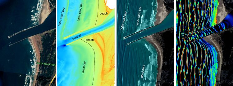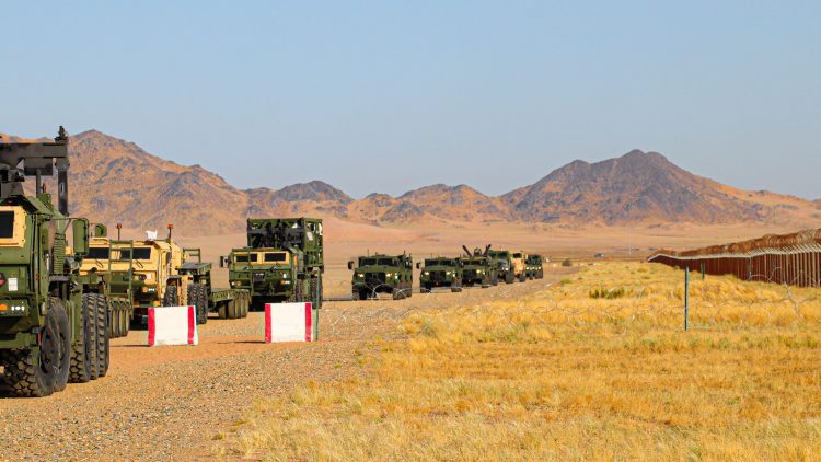
Soldiers are often forced to operate using outdated geospatial data that may not accurately represent current ground conditions. This creates challenges when trying to find the best possible routes for troop maneuvers or when selecting helicopter landing zones.
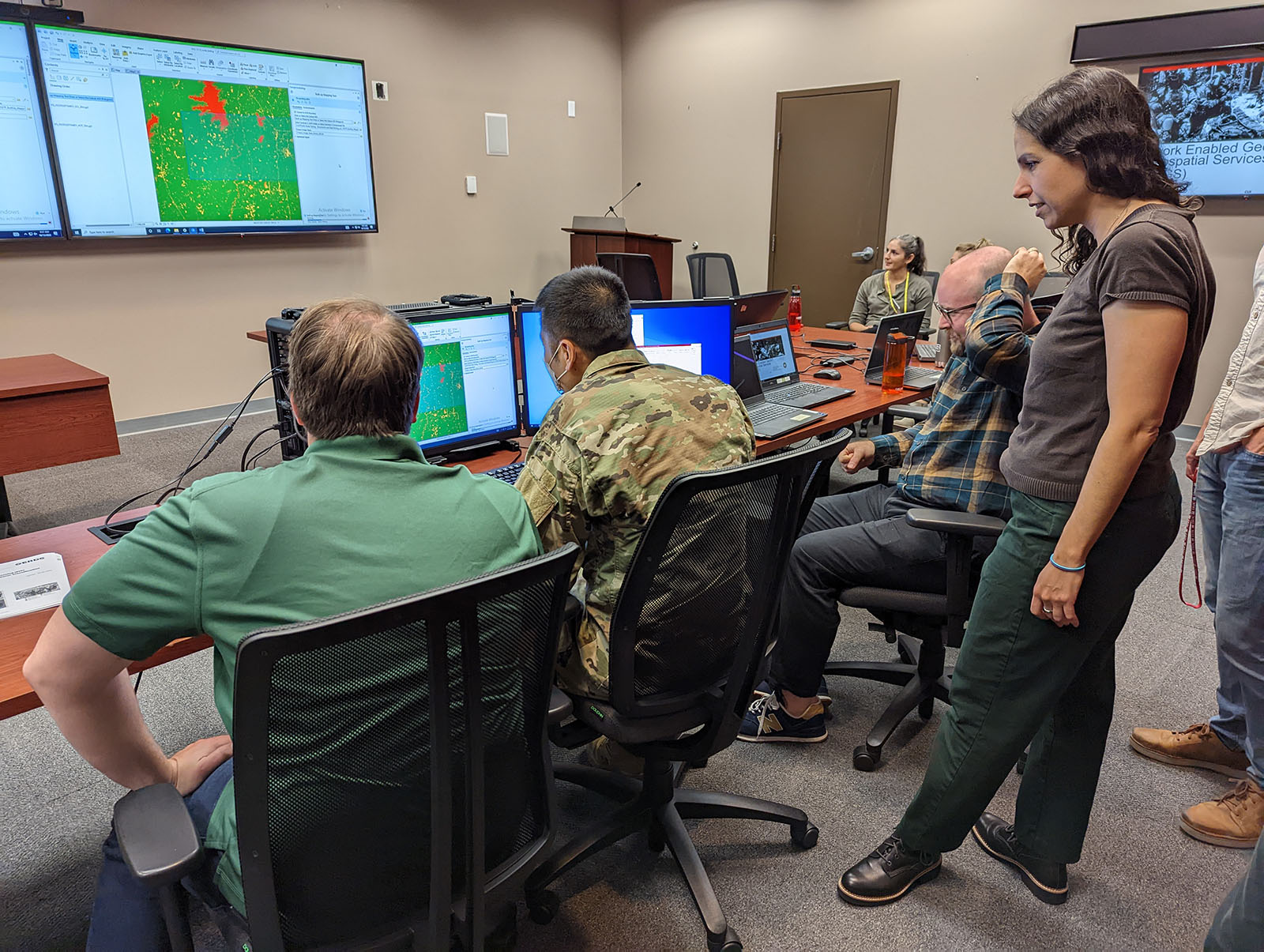
The U.S. Army Engineer Research and Development Center (ERDC) is developing a series of tools to solve this problem. These tools enable Army geospatial engineers to rapidly process new remotely sensed imagery from a variety of sources and use it to analyze current terrain conditions. Processes that once took hours can now be completed in seconds or minutes, and with higher accuracy, giving the Warfighter superior situational awareness and knowledge of the operational environment.
On the latest episode of the Power of ERDC podcast, we discuss this project with Nikki Wayant, research geographer at ERDC’s Geospatial Research Laboratory and task lead for the Enhanced Terrain Processing effort.
We discuss the challenges caused by outdated geospatial data (3:17), the wide range of tools and terrain analysis products available through the Enhanced Terrain Processing effort (14:55), how these tools allow data to be combined in new ways (18:37, 23:32) and how they enable mission success (12:48). We also talk about the relationship with the Army Geospatial Center’s Military Support Team and how it enables better products (20:23), when the tools will be available to Soldiers (20:06), how the effort has evolved through machine learning (30:16), and what the future holds for it (31:58).
Visit https://www.PowerofERDCPodcast.org for more information.
Podcast: Play in new window | Download