research

#29: Underkeel Clearance: Quantifying demand for USACE dredging

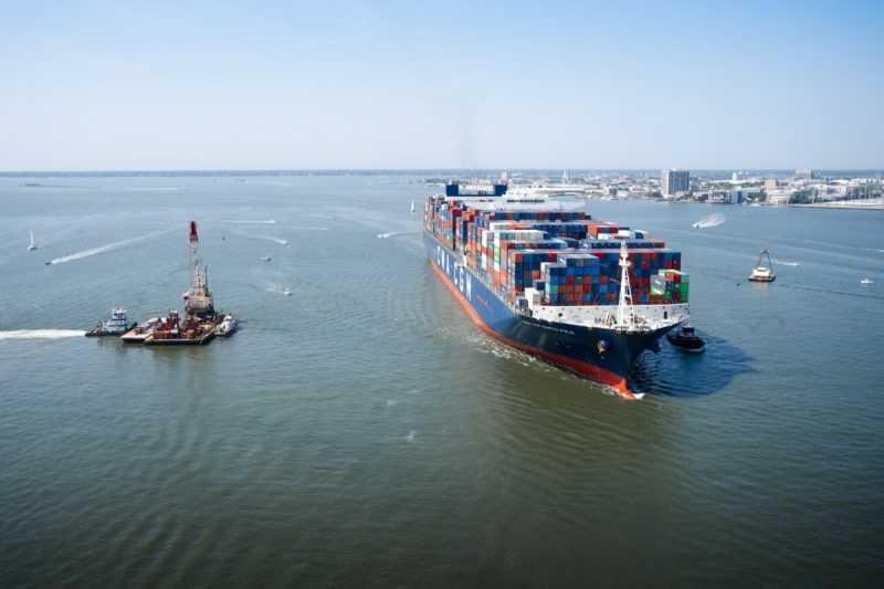
The ships calling upon U.S. ports have grown larger, and navigation channels must be dredged to greater depths to handle them. However, dredging is expensive, and the U.S. Army Corps of Engineers (USACE) needs more data-driven tools to prioritize limited resources more efficiently. Responding to this need, ERDC developed Underkeel Clearance. Applying newly available ship…

Read More

#28: Advanced manufacturing: Using 3D printing, new materials and optimized designs to produce large-scale components

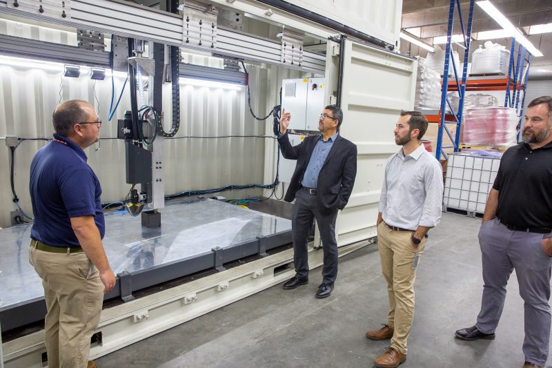
As America’s civil works infrastructure facilities age beyond their initial design lives, so do the thousands of individual components that keep them functioning. These original components were often fabricated using vintage material and manufacturing methods, making them costly, burdensome and time-consuming to replicate. However, if one of these parts were to suddenly break, that failure…

Read More

#27: RAIL: Making it easier to transport armored vehicles to austere locations

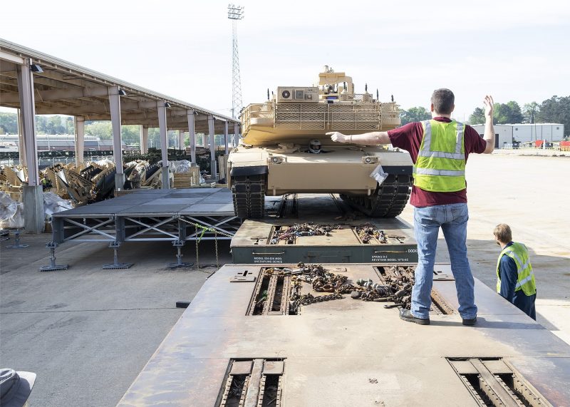
Despite modern transportation advancements, rail remains a superior method for moving heavy military equipment over vast inland distances. However, transporting tanks by train requires railyard facilities with specialized equipment capable of moving the armored vehicles onto and off of the rail cars. In response, the U.S. Army Engineer Research and Development Center (ERDC) developed the…

Read More

#26: Sand Boil Filter: A more efficient tool to combat internal levee erosion

When river levels rise, so does the threat of sand boils, which occur when water bubbles out of the ground near the base of a levee, surrounded by a mound of displaced soil. Caused by increased pressure, sand boils are a visible sign of erosion within a levee. And unless they are treated immediately, these…

Read More

#25: CorpsCam: Enabling more proactive coastal management through real-time monitoring and data

Monitoring large and constantly changing coastlines can be expensive, time consuming and dangerous. Traditional surveying methods are also limited because they only provide a single snapshot in time and don’t capture the full picture. As a result, coastal managers don’t always have the information they need to understand dynamic coastal conditions and plan projects that…

Read More