
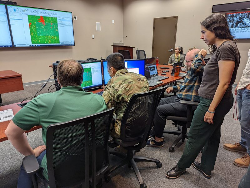
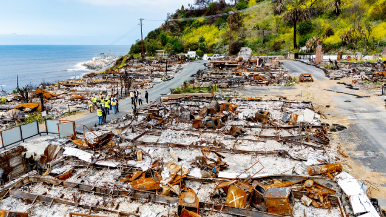
#47: From the Frontlines to the Homefront: Battlefield Damage Assessment Tool is helping with natural disaster response
What if a tool designed for combat could become a lifeline in the wake of natural disasters? The Battlefield Damage Assessment Tool, a system that provides rapid analysis in combat environments, has been deployed to help first responders allocate key resources more efficiently following wildfires and hurricanes. We discuss the technology and its development with…
Read MorePodcast: Play in new window | Download
Recent Comments