
Resources: #69: SandSnap 2.0
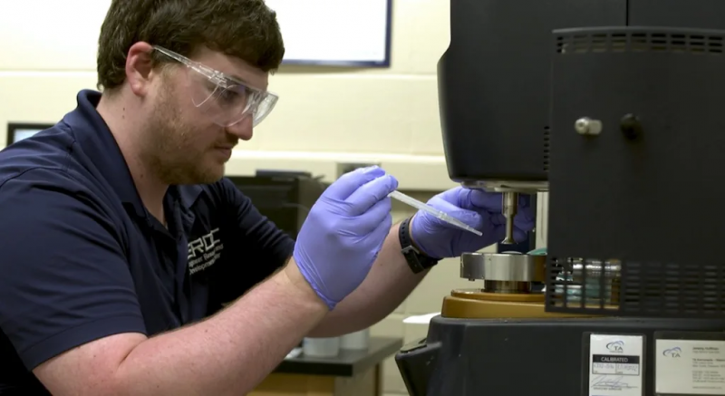
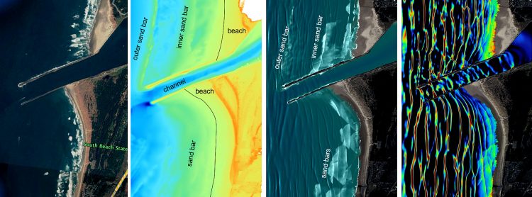
https://www.youtube.com/watch?v=pPk2PSFNWeY&authuser=0 ERDC launched SandSnap to build a national database of sand-grain size, filling a critical knowledge gap that will enable better beach management. Listen to episode 69 to learn more about SandSnap’s latest advancements and how it is making our coastlines more resilient to storms. You can also watch a video of the episode. MORE…
Read More


Recent Comments