Weather can change dramatically over only a few miles, yet many official observations come from stations separated by much greater distances. Those gaps matter when researchers and decision makers need to know exactly where rain is falling, how saturated the soil is, how quickly conditions are changing, or what those conditions could mean for flooding, drought, severe weather, infrastructure and military operations.
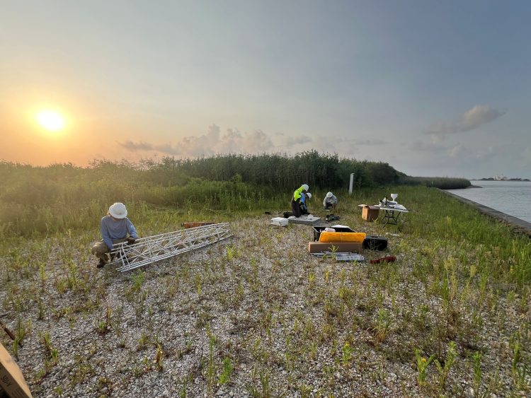
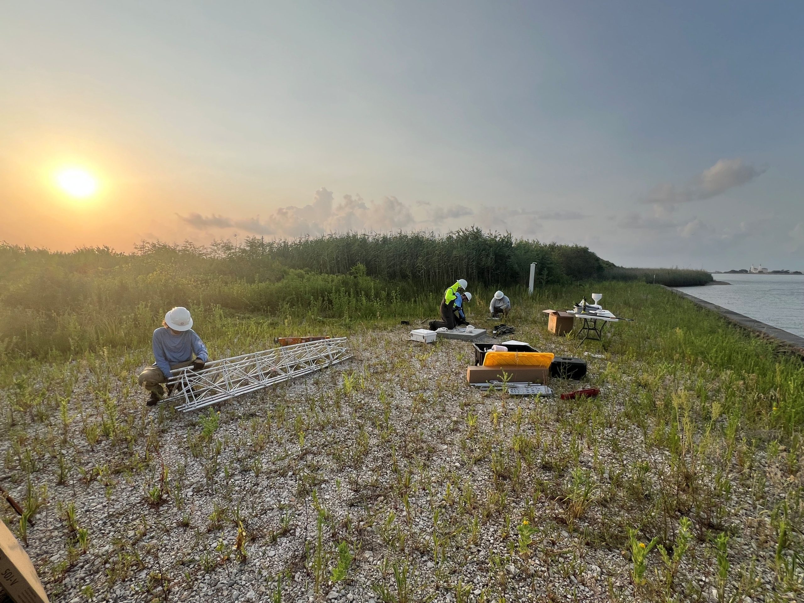
ERDC is partnering with the University of Louisiana Monroe (ULM) to expand a regional Mesonet to collect more localized weather and soil observations. The ERDC project will add 50 surface stations to ULM’s growing network, with a focus on data-sparse areas in and near the Lower Mississippi River basin.
In this episode, Dr. Mark Ballentine, a research biologist in ERDC’s Environmental Laboratory, and Dr. Todd Murphy of ULM explain how researchers plan to assimilate observations into a regional weather model, test where additional data improve forecasts, and develop an impacts-based GIS dashboard for decision makers.
Topics include what a Mesonet is (1:44), why soil moisture measurements matter (4:09), how an atmospheric supersite can profile the lower atmosphere (14:09), how researchers will test the value of new observations in weather models (19:37), and why the resulting tools could support both Civil Works and military missions (17:05).
For more information, visit PowerofERDCPodcast.org/82-weather-where-it-matters_resources. Watch a video of this episode at PowerofERDCPodcast.org/82-weather-where-it-matters_video.
Podcast: Play in new window | Download