Month: July 2026

Resources: #69: SandSnap 2.0

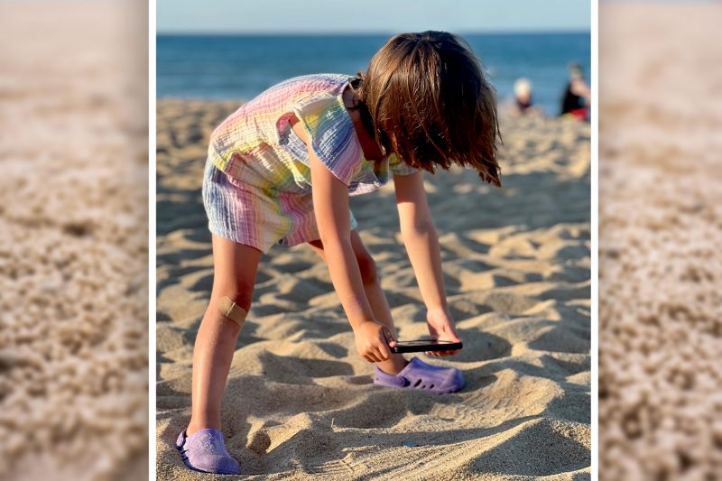
https://www.youtube.com/watch?v=pPk2PSFNWeY&authuser=0 ERDC launched SandSnap to build a national database of sand-grain size, filling a critical knowledge gap that will enable better beach management. Listen to episode 69 to learn more about SandSnap’s latest advancements and how it is making our coastlines more resilient to storms. You can also watch a video of the episode. MORE…

Read More
Video: #69: SandSnap 2.0

https://www.youtube.com/watch?v=juTq5FKG7cw Have you ever wondered about the size of individual grains of sand at your favorite beach? Coastal engineers and scientists have. Knowing the range of sand grain sizes on a given beach can inform multiple coastal applications from designing robust beaches for flood risk management to beneficially using dredged sediment. However, collecting that information…

Read More

#69: Sizing Up Sand: National project to chart grain size will improve beach management

Have you ever wondered about the size of individual grains of sand at your favorite beach? Coastal engineers and scientists have. Knowing the range of sand grain sizes on a given beach can inform multiple coastal applications from designing robust beaches for flood risk management to beneficially using dredged sediment. However, collecting that information across…

Read More

Video: #68: Surf Observation

https://www.youtube.com/watch?v=_qQS_kmoYxM Sitting on the beach and watching the waves is something many of us envision as a dream vacation. But for a group of Marines and Sailors, observing and counting those waves — while estimating the speed and direction of the currents — is a critical mission. It is a manual, time-consuming process that carries…

Read More

#68: Navigating the Dangerous & Chaotic: Surf observation science supports military’s critical amphibious operations

Sitting on the beach and watching the waves is something many of us envision as a dream vacation. But for a group of Marines and Sailors, observing and counting those waves — while estimating the speed and direction of the currents — is a critical mission. It is a manual, time-consuming process that carries inherent…

Read More

Video: #67: Mapping movement in contested terrain

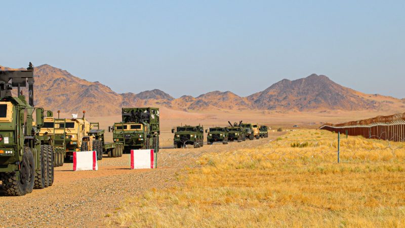
In contested environments, the ability to move people, equipment and supplies depends on more than finding the shortest route. Dr. Danielle Whitlow, a research civil engineer at ERDC’s Geotechnical and Structures Laboratory, is helping develop decision support tools that bring engineering analysis into tactical logistics and maneuver planning. Her work focuses on helping planners understand how…

Read More

#67: Mapping movement in contested terrain

In contested environments, the ability to move people, equipment and supplies depends on more than finding the shortest route. Dr. Danielle Whitlow, a research civil engineer at ERDC’s Geotechnical and Structures Laboratory, is helping develop decision support tools that bring engineering analysis into tactical logistics and maneuver planning. Her work focuses on helping planners understand how…

Read More

Video: #66: Post-Wildfire Flood Risk

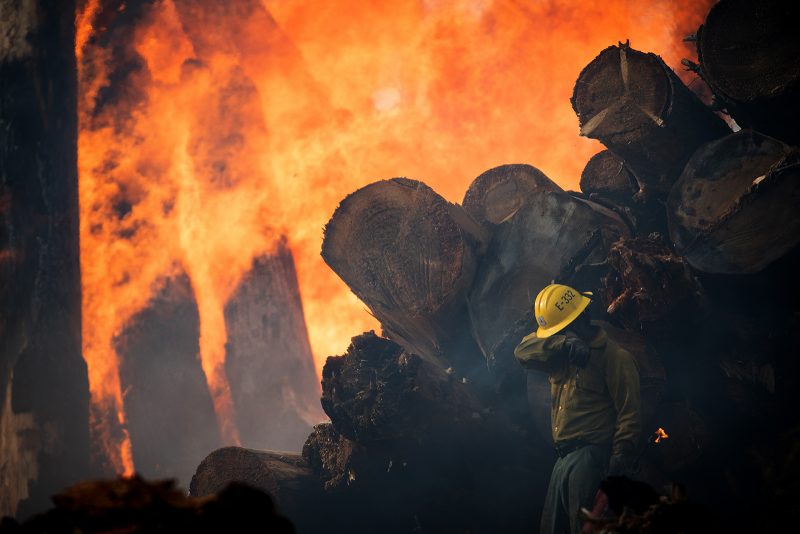
https://www.youtube.com/watch?v=UiVc5vndgL4 Even after wildfire devastates a community, a lingering threat remains. Soil and vegetation changes caused by wildfire damage amplify the risk of post-wildfire flooding and debris flows. It is a threat experts will be watching closely this year, as forecasts predict both a more active wildfire season this summer and El Niño conditions that…

Read More

#66: When the Storm Follows the Fire: Research helps predict, mitigate post-wildfire flood risk

Even after wildfire devastates a community, a lingering threat remains. Soil and vegetation changes caused by wildfire damage amplify the risk of post-wildfire flooding and debris flows. It is a threat experts will be watching closely this year, as forecasts predict both a more active wildfire season this summer and El Niño conditions that could…

Read More