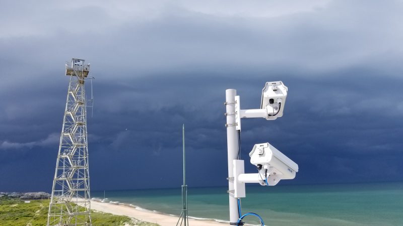
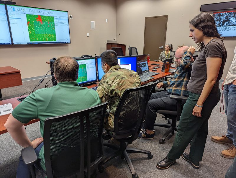
#25: CorpsCam: Enabling more proactive coastal management through real-time monitoring and data
Monitoring large and constantly changing coastlines can be expensive, time consuming and dangerous. Traditional surveying methods are also limited because they only provide a single snapshot in time and don’t capture the full picture. As a result, coastal managers don’t always have the information they need to understand dynamic coastal conditions and plan projects that…
Read MorePodcast: Play in new window | Download


Recent Comments