Listen to Episode 48 to hear Dr. Marin Kress of ERDC’s Coastal and Hydraulics Laboratory explain how LOMA provides real-time situational awareness across the nation’s inland waterways.
MORE INFORMATION:
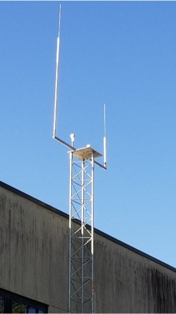
- Virtual Aids to Navigation (VATONs) from the USACE LOMA Program, 2018–2023. ERDC Coastal and Hydraulics Engineering Technical Note describing the Virtual Aids to Navigation (VATONs) broadcasts by the LOMA program and how they supported waterway traffic from 2018 – 2023.
Selected ERDC Publications and Technical Notes
- AIS Data: Real-Time Operation Support, Incident Investigations, and Waterway Use Analysis. ERDC Coastal and Hydraulics Engineering Technical Note describing multiple ways that AIS data can be used to support a variety of waterways management activities.
- Sharing ships’ weather data via AIS: concept and results from multiyear observations. ERDC Coastal and Hydraulics Engineering Technical Note describing the existing on-vessel test systems that share weather information collected on-board a vessel and broadcast via AIS.
- Inland Marine Transportation System Fluidity: Case Studies from the Ohio River, Lower Mississippi River, and Gulf Intracoastal Waterway. ERDC Coastal and Hydraulics Engineering Technical Report describing the concept of “freight fluidity” and how this can help understand and support maritime supply chains on selected waterways.
- Using Empirical Data to Quantify Port Resilience: Hurricane Matthew and the Southeastern Seaboard. ERDC publication that evaluated port resilience after Hurricane Matthew using quantifiable metrics derived from AIS data.
- AIS Data Case Study: St. Louis Commercial Vessel Fleeting Activity and River Training Structures. ERDC Coastal and Hydraulics Engineering Technical Note examining vessel behavior and navigation patterns using AIS data.
- Prediction of Waterborne Freight Activity with Automatic Identification System Using Machine Learning ERDC publication demonstrating how AIS data can be used to analyze and predict freight movement patterns on inland waterways.
- Measuring Maritime Connectivity to Puerto Rico and the U.S. Virgin Islands Using AIS Data Technical note applying AIS data analysis to assess maritime connectivity and vessel movement trends.
- AIS Data Case Study: Evaluating Reception of AIS Position Reports on the Missouri River ERDC Coastal and Hydraulics Engineering Technical Note analyzing AIS coverage, reception gaps, and implications for inland navigation awareness.
Operational Support and Case Studies Using LOMA Data
- DOTS Response: AIS Data from LOMA Sites for Rock Island District Example of how LOMA vessel position data was used to support district-level navigation analysis and decision making.
- Analysis before and after Dredging near Missouri River Mile 282 in November 2020. Example of how LOMA vessel position data was used to investigate changes in vessel speeds before and after a dredging event on the Missouri River.
- Potential Lock Operations Management Application (LOMA) Hardware Installation Sites along the Ohio River to Improve Automatic Identification System (AIS) Reception and Transmit Range. Example of how LOMA data has been used to identify potential new installation sites to improve coverage on the Ohio River.


Recent Comments