maps

#21: Enhanced Terrain Processing

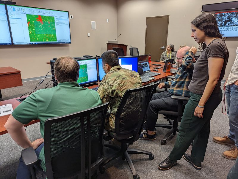
Soldiers are often forced to operate using outdated geospatial data that may not accurately represent current ground conditions. This creates challenges when trying to find the best possible routes for troop maneuvers or when selecting helicopter landing zones. The U.S. Army Engineer Research and Development Center (ERDC) is developing a series of tools to solve…

Read More

#4: Mapping in GPS-denied environments

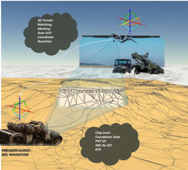
As Global Positioning System, or GPS, technology becomes more commonplace, so does its usage by the Armed Forces in preparing for and executing battleplans. However, there has also been a growing trend of adversaries using technologies to jam or spoof these signals. This created a need to provide mapping capabilities for use in GPS-denied environments….

Read More