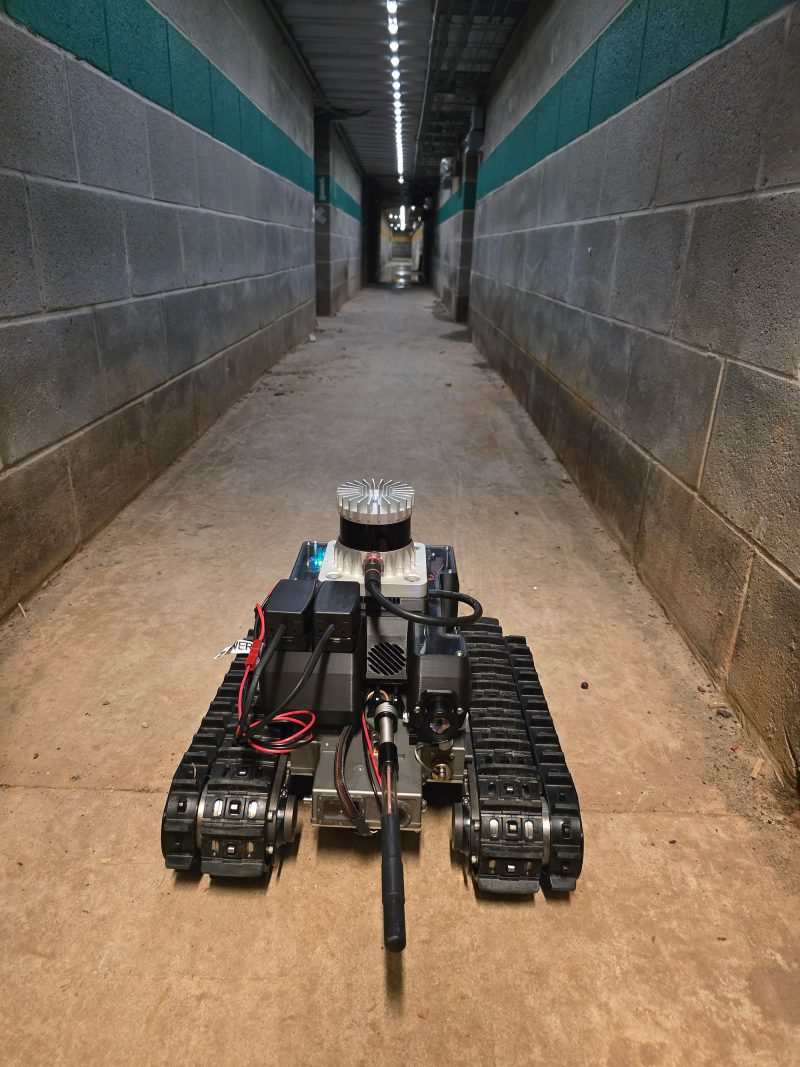
#32: Muddy: A mapping robot for extreme environments
A low-cost unmanned ground vehicle capable of producing 3D maps, the Muddy robot has solved a variety of mapping challenges since 2017. Developed by the U.S. Army Engineer Research and Development Center (ERDC), Muddy is often used to test more expansive robotic platforms and to enable other projects. Its combination of autonomous navigation, affordability and…
Read MorePodcast: Play in new window | Download
Recent Comments