USACE

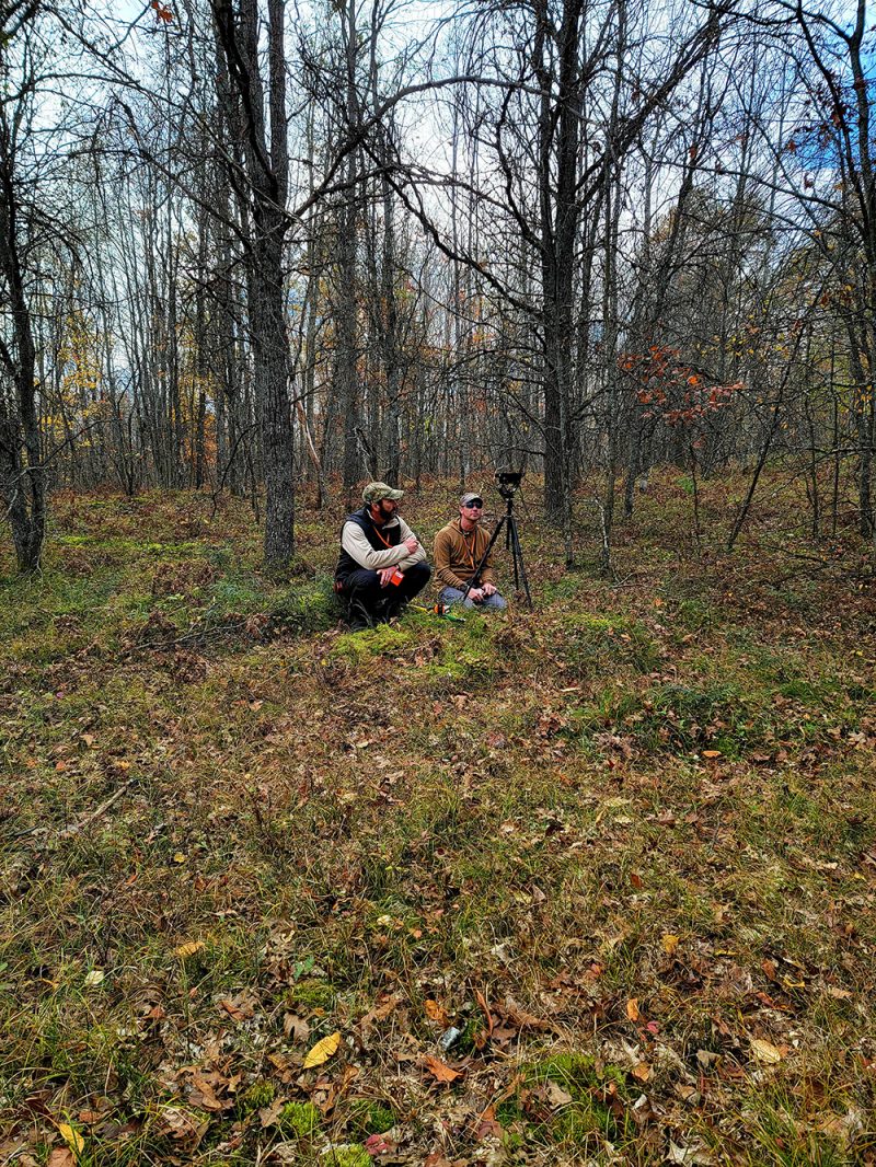
#25: CorpsCam: Enabling more proactive coastal management through real-time monitoring and data

Monitoring large and constantly changing coastlines can be expensive, time consuming and dangerous. Traditional surveying methods are also limited because they only provide a single snapshot in time and don’t capture the full picture. As a result, coastal managers don’t always have the information they need to understand dynamic coastal conditions and plan projects that…

Read More

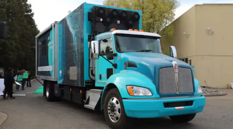
#24: Providing Supercomputing Resources to Enable DOD Problem Solving

We talk with Dr. Ben Parsons, chief technology officer with the High Performance Computing Modernization Program (HPCMP), about how the program enables the Department of Defense (DOD) to solve its most critical mission challenges. Managed by ERDC, the HPCMP delivers world-class high-performance computing and expertise to DOD engineers and scientists. Its five DOD Supercomputing Resource…

Read More

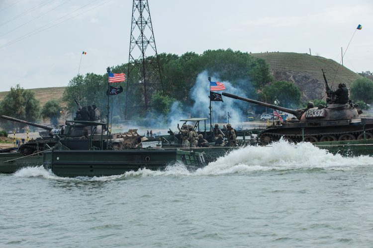
#23: Arctic Mobility

We talk with Dr. Orian Welling and Mr. Michael Parker from ERDC’s Cold Regions Research and Engineering Laboratory about how ERDC’s cold weather mobility expertise will directly help the U.S. military better protect and defend the Arctic. As the Arctic grows in strategic importance to the United States, the region also presents unique challenges to…

Read More

#22: Using Augmented and Virtual Reality to Enable Next-Generation Engineering

We talk with Jeremy Herring and Kelly Ervin from ERDC’s Information Technology Laboratory about how ERDC is enabling next-generation engineering by applying augmented reality and virtual reality capabilities. These disruptive technologies can help solve a diverse range of current and future problems by immersing users in virtual scenes. As uses continue to grow, ERDC established…

Read More

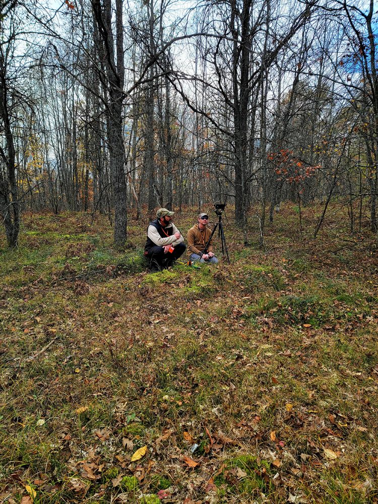
#21: Enhanced Terrain Processing

Soldiers are often forced to operate using outdated geospatial data that may not accurately represent current ground conditions. This creates challenges when trying to find the best possible routes for troop maneuvers or when selecting helicopter landing zones. The U.S. Army Engineer Research and Development Center (ERDC) is developing a series of tools to solve…

Read More